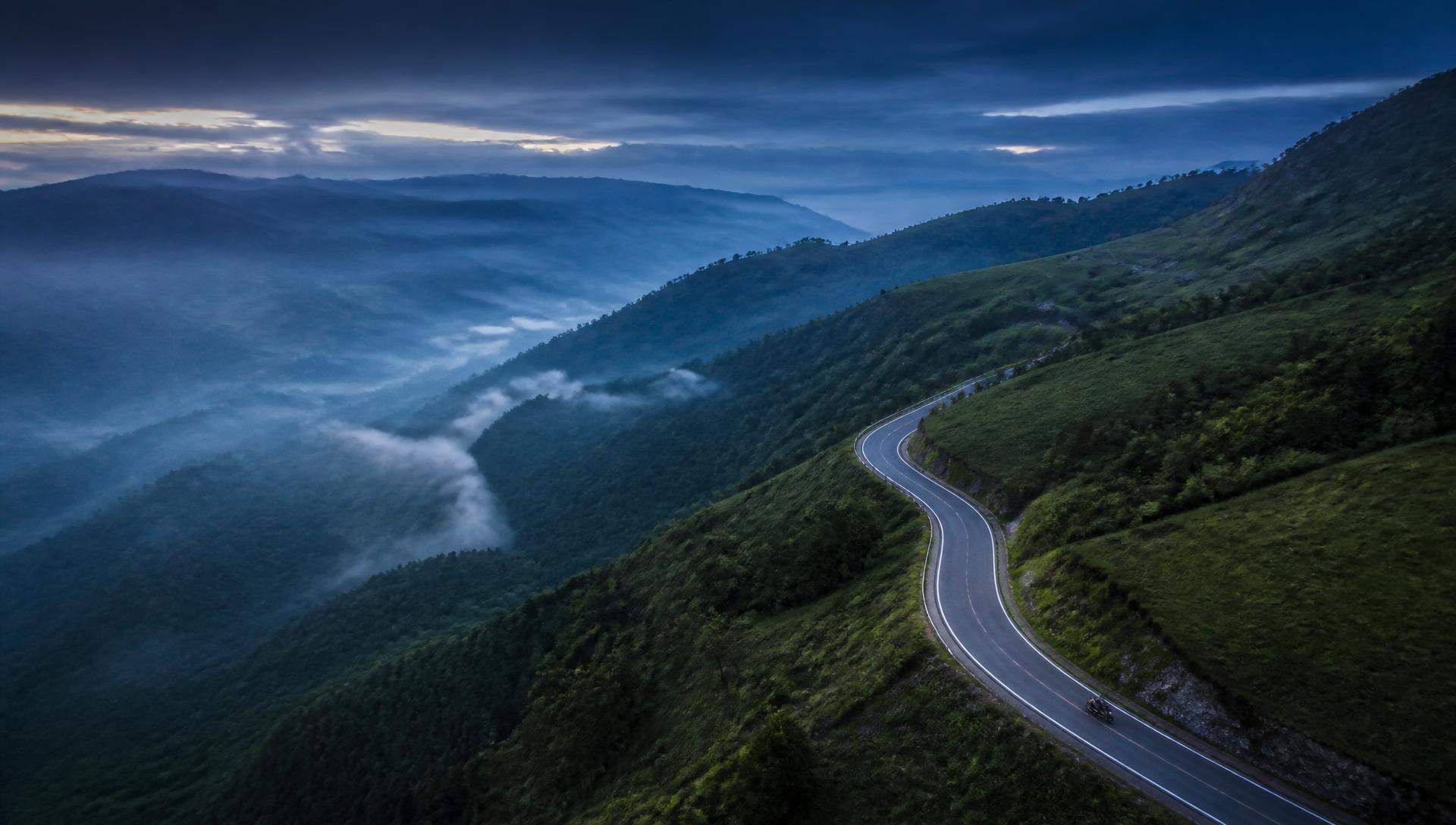
Aerial view of a winding mountain road
UK fully functional — EU & US coming later in 2026

Plan your route.
Ride your adventure.

A route planner for hikers, cyclists, and motorcyclists who ride mixed road and off-road. Snap to tarmac where it makes sense, hand-draw the green lanes and singletrack where it doesn't. Load your GPX and TET files, edit them, then navigate offline!

Two modes, one map

Toggle Road ↔ Trail per point. Roads route through the network; trails follow your line exactly.

GPX in

Drop in TET tracks, MTB routes, or hiking GPX. Geometry stays untouched.

Edit on the map

Drag to move, tap the line to insert, tap a pin to remove. No dialogs.

Follow your line

Live position on the route with distance covered, remaining, and off-route alerts.